

I tend to choose my running routes with these simple requirements:
- It must have ample elevation gain – I love to get high!
- Be a new trail to be explored by me.
- Preferably have a fun name to it.
This past Labor Day, we closed the shop and took to the mountains for a little trail therapy. Having never been to this trailhead before (and me not doing my homework), we arrived a bit later than intended, but knew the weather window was in our favor.
Chihuahua Gulch Trail #260 is rated as difficult according to trails.com, and according to my Strava route, boasted 9 miles (I tend to explore off track a bit!) out-and-back and just shy of 2,000 vertical feet of gain. The trail begins on a steep Jeep 4×4 road that was severely washed out in areas, so be forewarned if you think you’re cool and your car can make it…. don’t be the hero and just park and hike, please!
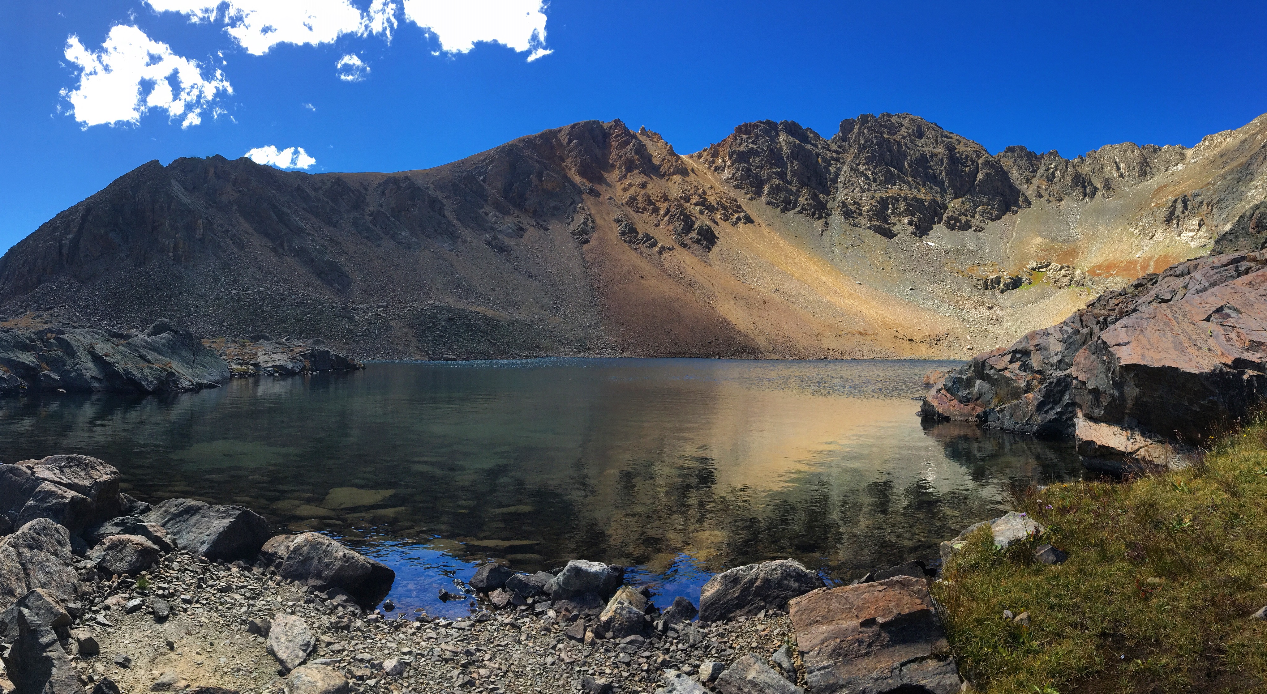
About 2 miles of climbing along the Jeep road, you hit the official trailhead for Chihuahua Lake in the shadow of Grays and Torreys Peaks. The trail meanders along a single-track route for the remainder of the climb with countless water crossings, so bring extra socks unless you don’t give a shit about getting wet. Your world, we’re just livin’ in it.
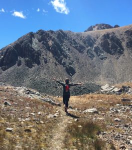
Me being me the second I caught a glimpse of the desired One.
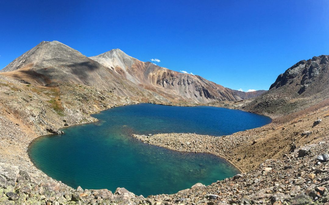
The final push to the lake is a bit deceiving, especially for someone like me who’s seen pictures and KNOWS it’s gotta be, like, RIGHT THERE. But, no. There’s a small scramble section and a false summit and then a touch more hiking and you still can’t see it until BAM! You crawl over a little wall and you are then overlooking the beautiful, milky green water of Chihuahua Lake.
The kidney-bean shaped high alpine lake sits at 12,400 ft in the shadow of Grizzly Peak (also on my run list…) with beautiful vistas, wildflowers, marmots and for those wild enough, a few good spots to take a nice polar plunge. A great place to sit and soak up some sun, refuel on delicious snacks, (Oreos and apple sauce for us), before hitting the trail for the 4.5 mile route out.
Total time on trail was about 3:30:00, and we ran a good portion of the trail back to the car, so if you’re hiking, I would double that. The next few weeks are going to be prime Aspen-peeping, so pack some snacks, some layers, check your weather and get out there before the snow sticks!
Lessons learned:
- Start early (earlier than our 11:30am)
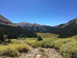
The valley during the hike out. Signs of Fall starting to pop!
- Pack lots of snacks. You’ll quickly learn my caliber of snacks is pretty limited to all the stuff I’m not supposed to eat. Thanks, ultrarunning.
- Pack layers. We REALLY lucked out with the weather, so do not assume it’ll be a gorgeous day. Likely, you’ll have storms rolling in at that altitude come 1-2pm.
- Pack extra socks. Seriously, there’s a lot of water.
- Bring a water filter so you don’t have to lug around gallons of the good stuff.
- Always, always get Mexican food as a post-hike/run reward.
Did I want to rush home and adopt an adorable little Chihuahua dog? Maybe. Did we mispronounce the name of the lake all day long and call it Lake Chimichanga and go get Mexican food afterwards? Why yes, yes we did. Enjoy the hike and don’t forget to swing by the shop for last minute goodies. See you out there!